


Aerial monitoring with drone
Aerial thermography

- Identification of thermal dispersions.
- Action aimed at the specific problem.
- Increase in yield and savings.
The combination of the thermal image with the visible image makes it possible to immediately identify critical areas.
The thermographic monitoring performed with the drone have the advantage of being the most dynamic and economical alternative for investigations that would otherwise be carried out with the help of aerial platforms and helicopters.
This type of monitoring allows the identification of the single sources of dispersion in such a way as to intervene only where necessary.
It therefore allows economic savings both immediately, thanks to targeted interventions, and in the long term, by increasing the efficiency of the system.
The thermographic investigations carried out in the landfill bring to light the possible areas of dispersion of the methane produced by the decomposition of waste. This gas, compared to CO2, has an environmental impact about 20 times higher.
Aerial photogrammetry
- Complete point of view.
- Readiness to intervene.
- Immediate return.
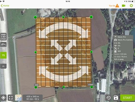
The planning of an accurate flight plan allows the rapid realization of an elaborate, in 2D or 3D, created by the mosaic of the detected images.
This type of monitoring can be used for the construction, or updating, of plans of plants and sites of any type, even with extensions of 10 hectares in less than 1 hour of actual surveys.
On specific customer request, aerial photographs can also be taken that contextualize the plant or site in the surrounding environment. The surveys can be used for the promotion and advertising of the building on any channel currently available.